
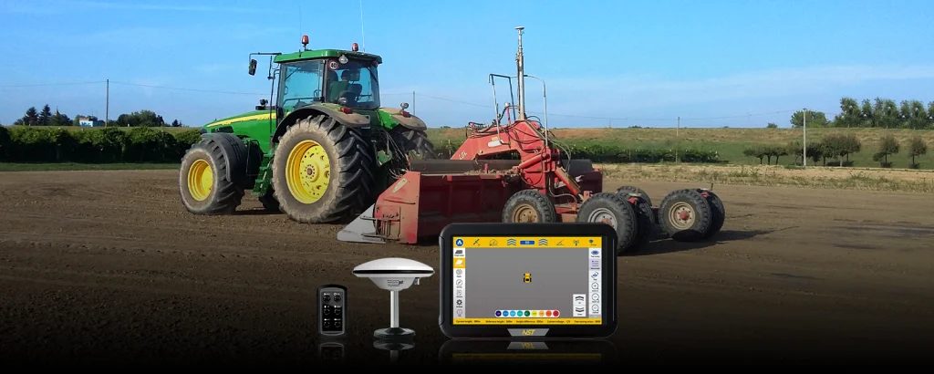
The product
RTK system for surveying, designing and controlling agricultural levelling operations.
NST N200 uses GNSS-RTK positioning to survey terrain, generate a digital model and control levelling operations. It offers flat, single-slope and dual-slope modes.
Benefits
Key strengths
Surveying and digital terrain model
Flat, single-slope and dual-slope modes
Levelling accuracy of ±2 cm
10.1-inch industrial terminal
Irrigation efficiency from 40–50% to 70–80%
9% increase in land utilisation
20–30% increase in yield
More than 20% increase in fertiliser efficiency
In the field
Applications
Data
Technical specifications
Levelling accuracy
±2 cm
Display
10,1”
Terminal protection rating
IP65
Power supply
12 V DC
Connectivity
Wi‑Fi 2,4 GHz; 4G/LTE; Bluetooth 4.0
Horizontal RTK accuracy
1 cm + 1 ppm
Vertical RTK accuracy
1,5 cm + 1 ppm
Design modes
Flat; single slope; dual slope
Details
Gallery
Learn more
Documents and manuals
Put it to work